Hike through Suld Valley
ツアー: アエシリエド村~スロド谷のポッヘテの滝~アエシリエド村(2019年10月13日)
- 距離・length: 13.08 km
- 登り、下り・ascents/descents: 900 m / 900 m
- 歩く時間・hiking time: 5 h
- スタート地点・starting point: Aeschiried, Schulhaus (1,015 m)
- 経由地・intermediate points: Restaurant Pochtefall (1,080 m), Brunni (1,646 m)
- ゴール地点・end point: Aeschiried, Schulhaus (1,015 m)
- ツアーマップ・LINK TO HIKING MAP
この約5時間かかるラウンドツアーは、ベルン州のシュピーツ近郊のアエシリエド村に発着する。渓谷からスタートし、印象的なポッヘテの滝を通り過ぎて上の尾根へと登っていく。そこから尾根に沿ってエーシュリートに戻り、周囲の山々、トゥン湖、そして少し隠れているブリエンツ湖を見渡すことができる。紅葉の中の静かなハイキングで、休憩したり景色を眺めたりするのに最適な場所がたくさんある。
This round tour starts from and ends in the Bernese Aeschried near Spiez
and takes about 5 hours. You start in the valley and climb up past the
impressive Pochte Waterfall to the ridge above. From there you follow
the ridge back to Aeschried, with a panoramic view of the surrounding
mountains, Lake Thun and, slightly hidden, Lake Brienz. It's a peaceful hike in the midst of autumn colors, with many good locations to rest and take in the views.
 |
| ポッヘテ滝(標高1,250 m) Pochtefall (1,250 m) |
 |
| ラトレイェ川(標高1,400 m) Latrejebach (1,400 m) |
 |
| 谷奥のシュワルメラ山を望む View of Schwalmere in the back of the valley |
 |
| ブルニから見たモルゲンベルホルン山 (標高1,646 m) Morgenberghorn as seen from Brunni (1,646 m) |
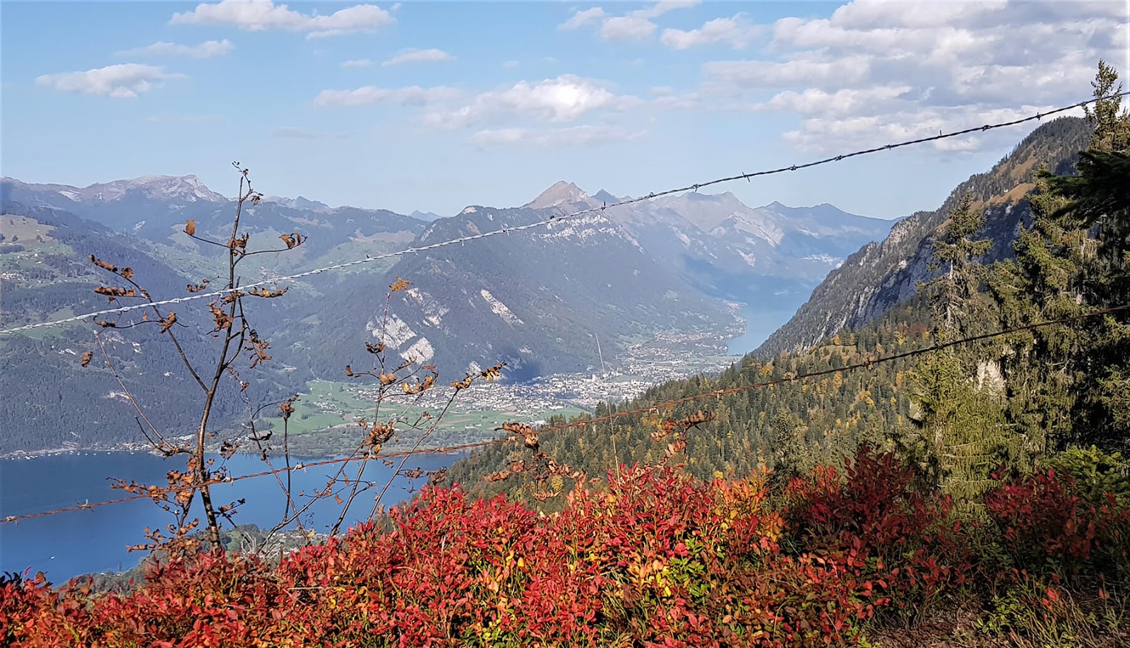 |
| トゥーン湖とブリエンツ湖が見えてくる You can see the Lake Thun and Lake Brienz from the ridge walk |
 |
| 夕方の光の中、アエシリエド(標高1,050m)まで下りる Descending to Aeschiried (1,050 m) in evening light |


コメント
コメントを投稿