Niwärch & Gorperi bisses tour in Wallis, Ausserberg to Eggerberg
ツアー:ヴァリス州の二ーウェルクとゴルペリのビス (Bisse)、アウサーベルグ~エッゲルベルグ村
- 距離・length: 12.25 km
- 登り、下り・ascents/descents: 418 m / 501 m
- 歩く時間・hiking time: 3 h 30 min
- スタート地点・starting point: Ausserberg train station (930 m)
- 経由地・intermediate points: Niwärch (1,189 m), Ze Steinu (1,300 m), Restaurant Egga (1,090m)
- ゴール地点・end point: Eggerberg train station (635 m)
- そのほか・remarks: ビス(ヴァリス州のドイツ語で「スオン(Suon)」とも呼ばれている)は昔からある灌漑用水路だ。ヴァリス州に250カ所のビスもあり、その中の200カ所以上が農業などにまだ使用されているらしい。山歩きコースとして大人気。Bisses ("Suon" in German) are the historic irrigation channels
of the Wallis. A bisse channels water
from mountain streams to pastures and
fields. There are ca. 250 bisses in the Wallis, with over 200 still in use today. Hiking along these ancient water ways is booming.
- ツアーマップ・LINK TO HIKING MAP
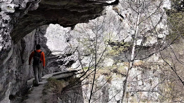
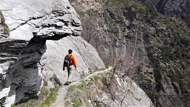
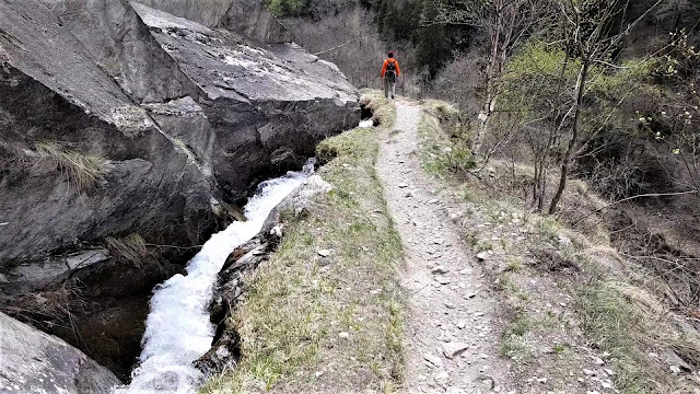
Optimistic that the bisses on the sunny side of the great valley of Wallis would be snow free by Easter, we set off for Ausserberg. The train station lies below the village and it´s uphill from here, through picturesque houses, blooming cherry trees and past herds of Wallis goats, easily recognizable by their long-haired black front and white back. After a steep climb you reach the Niwärch bisse and from here on it´s an easy path with practically no up and downs. The easy path ends when it takes a sharp turn into the rock walls of the steep Baltschieder Valley. There´s a sign that says "Auf eigene Gefahr (At your own risk)". The path boasts spectacular views from here on in, but is quite exposed and can be vertigo inducing. In addition, there are possible rock falls and people are advised to turn back if it´s very windy or rainy/wet. There´s a tunnel that goes straight through, so people can use that one instead (the tunnel is not lit, so don´t forget to bring a lamp).
Once past the rock walls, the hike would have been easy, if it hadn´t been for a huge snow and dirt avalanche that will probably still be there 2 months later. It takes a lot to melt that much snow. It wasn´t too hard to climb over it, but still... We walked back out of the valley on the other side by way of Groperi bisse, with it´s gurgling, water rich channel. Very pretty. Before descending to Eggerberg station, it´s worth having a drink or a soup at Restaurant Egga. Very nice view and very nice people!
 |
| アウサーベルグ村上の桜の木。 Above Ausserberg, mountain cherry trees in bloom. |
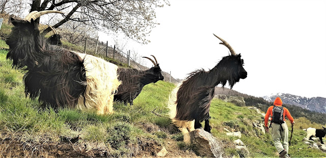 |
| ヴァレー州でしか見られない黒い首・白いお尻の山羊。 You only see these in the Wallis, the "Walliser black-neck goats" (Walliser Schwarzhalsziege). |
 |
| 二ーメルクビス Niwärch Bisse |
 |
| 二ーメルクビス Niwärch Bisse |
 |
| 二ーメルクビス Niwärch Bisse |
 |
| ゴルペリビス Gorperi Bisse |
 |
| ゴルペリビス Gorperi Bisse |
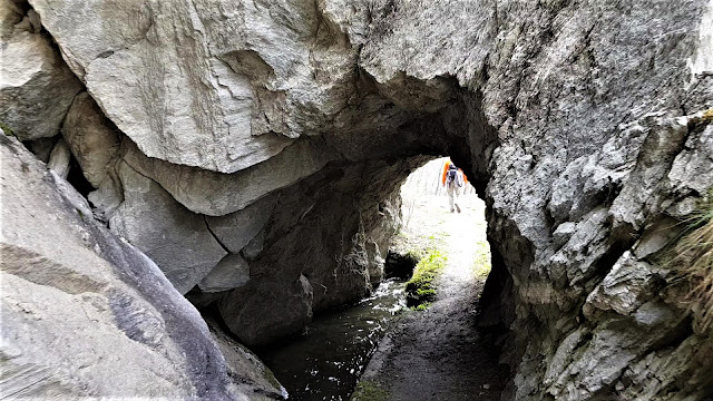 |
| ゴルペリビス Gorperi Bisse |
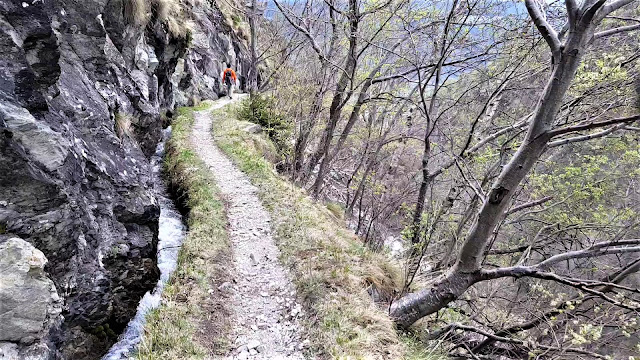 |
| ゴルペリビス Gorperi Bisse |
コメント
コメントを投稿