Climbing Valbellahorn from Arosa
ツアー: ヴァルベラホーン山を登る(2020年8月6日)
ツアー案内・Hike overview- 距離・length: 16.28 km
- 登り、下り・ascents/descents: 1,265 m / 1,265 m
- 歩く時間・hiking time: 6 h 30 m
- スタート地点・starting point: Arosa 駅/Station (2,340 m)
- 経由地・intermediate points: Altein (2,272 m), Alteiner Fürggli Grand (2,491 m), Valbellahorn (2,763 m)
- ゴール地点・end point: Arosa 駅/Station (2,340 m)
- そのほか・remarks:
子供の頃、両親と何度かヴァルベッラホルン山に登ったことがある。そのころ、公式なアルパイン・ハイキング・コースだったが、その後、アルテイナー・フュルグリ峠よりの道の白赤白の道標が取り除かれ、非公式になってしまった。どなたか優しい人がマゼンタ色のスプレー・ドットでマークしてくれたおかげで山頂には問題なくたどり着くことができるが、もう公式なアルパイン道ではない。地元のアルパイン協会がもう管理しているわけでもないから、ご注意ください。と言っても、決して難しい道ではない。
As a child, I climbed the Valbellahorn several times with my parents. Sometime between my childhood and now the painted white-red-white way signs from the Alteiner Fürggli up to Valbellahorn were removed, turning the last leg up the mountain into a non-official alpine hiking path. There is still a discernible path that a nice person marked with red spray dots (thank you!), and we met two other couples climbing this mountain on the same day, so it's not as if the Valbellahorn is totally off the grid for hikers, but still, it's not official and not maintained by the local alpine society, so please be careful. - ツアーマップ・LINK TO HIKING MAP
意外なこと、2020年の真夏に山頂に雪が降った。雪が少し溶けるまで2日間待ってから、この過酷で美しいツアーを行った。 森を抜け、急勾配を登り、川や滝、山の湖や牛を通り、最後はアルタイナー峠からカルスト岩を越えてヴァルベラホルン山に登頂した。頂上には十字架があり、その根元には金属製の箱に入ったピークブック(Gipfelbuch)がある。ぜひ記入してください。360度の眺望はとても素晴らしく、晴れた日には遠くまで見渡すことができる。頂上付近や頂上には露出した部分があるので、注意しながら登らなければならないが、一般的な経験豊富なハイカーには大丈夫な山だと思う。帰りは同じ道を戻る。アローザ村に戻ったら、ウンターゼ湖で一杯飲んで、水浴びをしましょう。とてもリフレッシュできるよ。
In the middle of summer 2020, it snowed and dusted the snow peaks white. We waited for two days until the bounty of this freak snowfall melted a little, before undertaking this strenuous, beautiful tour. It leads through forests, up steep inclines, past rivers, water falls, mountain lakes and cows, before culminating in the last leg up to Valbellahorn from Alteiner Fürggli over karst stones. The top is marked with a cross and at its base you find the peak book (Gipfelbuch). Make sure to fill it out! The 360° view is absolutely wonderful, you see very far on a clear day. There are some exposed parts near and at the top, so be careful, but there is no climbing, just walking. It's an ok mountain for the average experienced hiker. On your return you go back the same way. When you get back to Arosa, have a drink at the Untersee and go take a dip. Very refereshing!
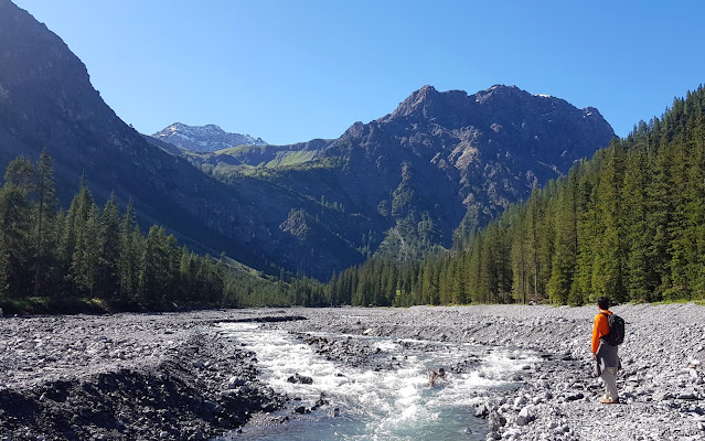 |
| イゼル平原(標高1,618m)にて On the Isel Plain (1,618 m) |
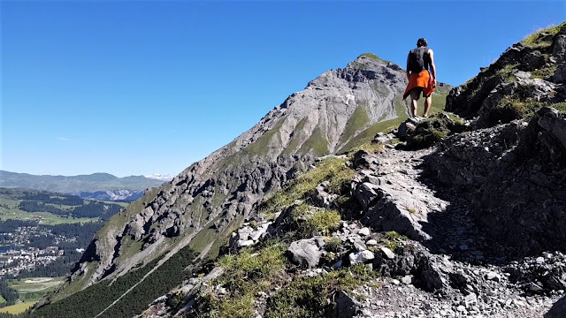 |
| アルテイン平原に到着する少し前(標高2,200m)、シーエスホルン山を背にして Shortly before arriving on the Altein Plain (2,200 m), with Arosa's house mountain Schiesshorn in the back |
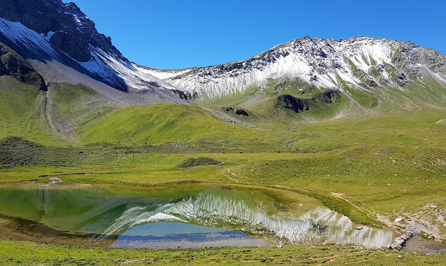 |
| アルテイン湖(標高2,252m) Altein Lake (2,252 m) |
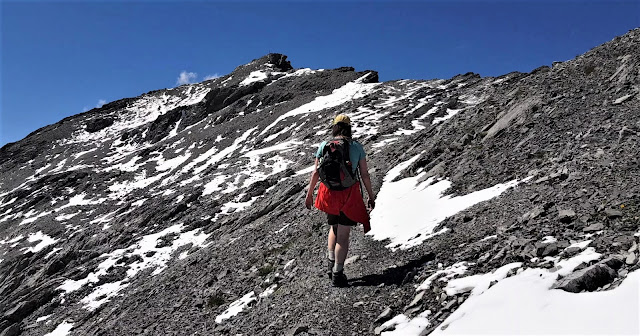 |
| ヴァルベラホルン山の頂上まで残り30分 The last half hour to the top of Valbellahorn |
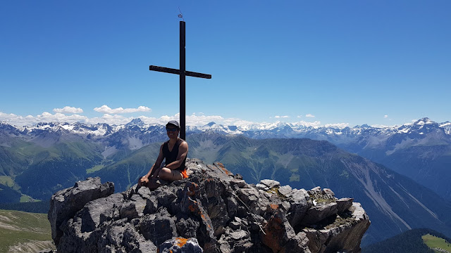 |
| ヴァルベラホルン山の頂上(標高2,764m) Top of Valbellahorn (2,764 m) |
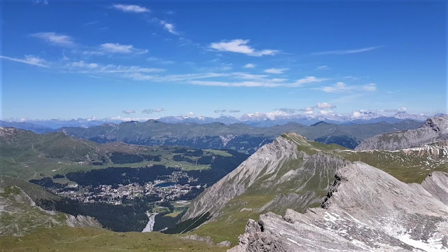 |
| ヴァルベルホルン山からアローザ村を望む View from Valbellhorn on Arosa |
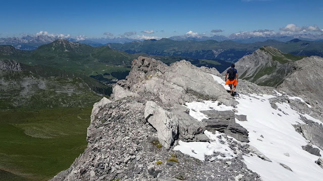 |
| 下山途中のヴァルベラホルン山の稜線にて On the ridge of Valbellahorn on the way down |
 |
| 牛が暮らすアルタイナー峠(標高2,491m) Alteiner Fürggli (2,491m) populated by grazing cows |
コメント
コメントを投稿